
About us
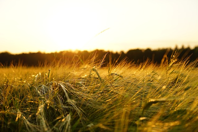
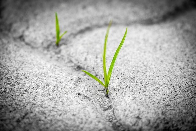
BioDRONE was created from the passion our team has for technology and the countryside. We love data and how it can be used to increase customer efficiency and revenues. We are a high-tech startup based deep in the countryside of Kent, UK. We believe the latest drone technology can be utilised as a tool to improve crop yields and give farmers instant information about their land.
Our pilots are CAA qualified and fully insured.
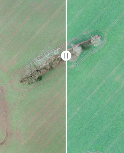
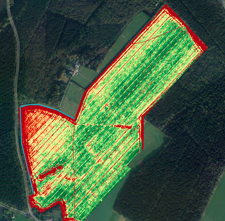
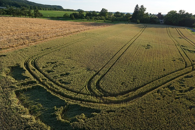
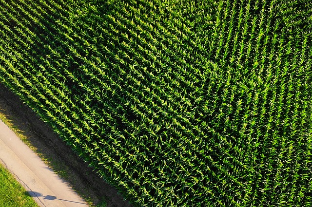
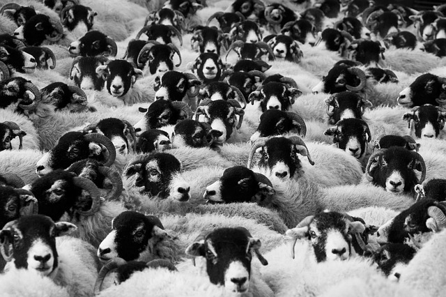
Our Portfolio
Here are a few examples of the type of data you can expect from BioDRONE.
Contact Us
To discuss arable analysis and to arrange a meeting please contact us using your preferred method below.
Fill out my online form.
- Email: hello AT biodrone DOT co DOT uk
- Website: www.biodrone.co.uk